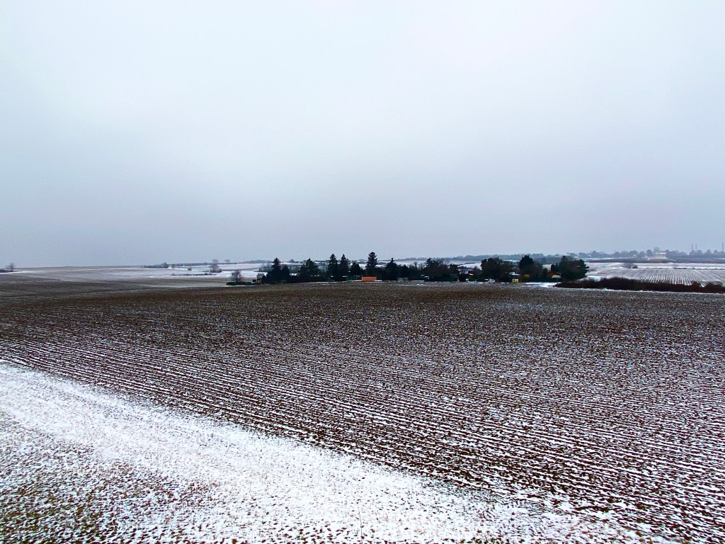
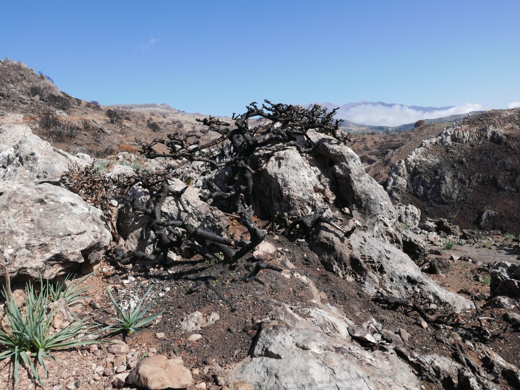
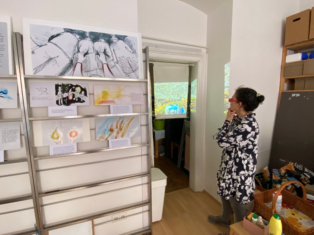
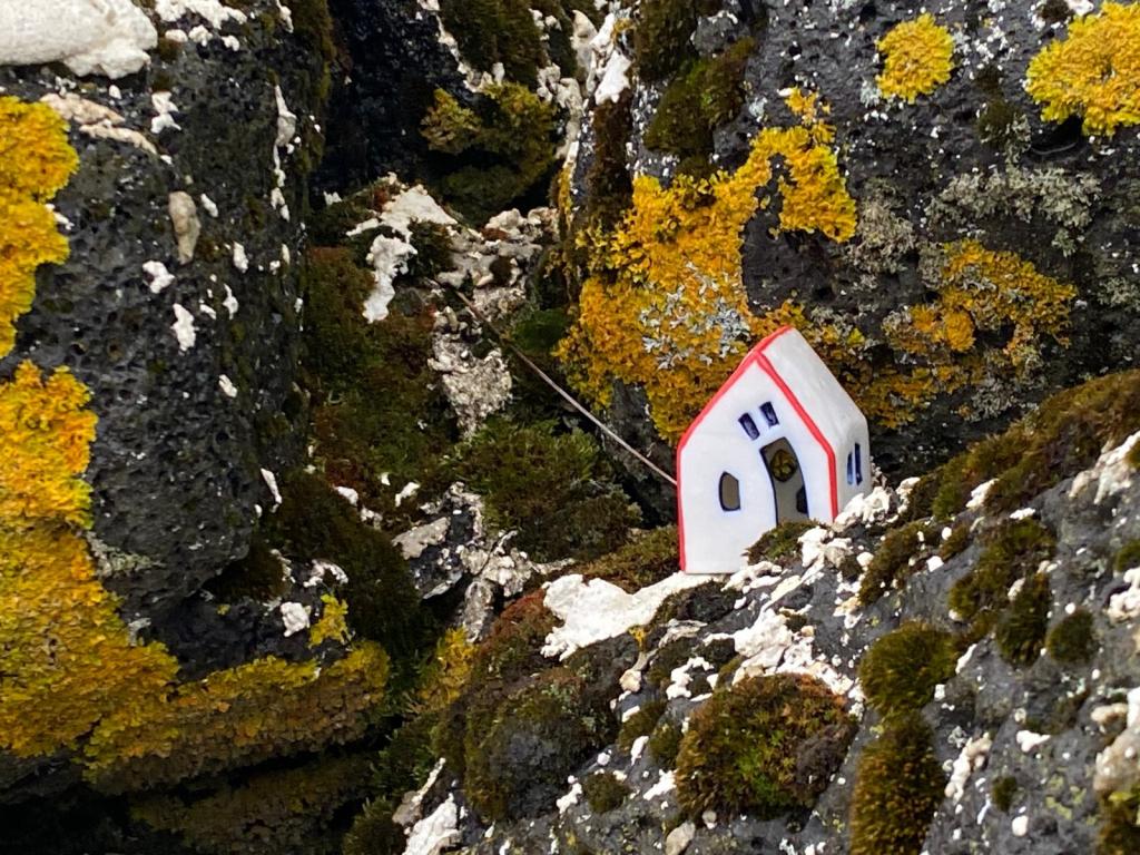
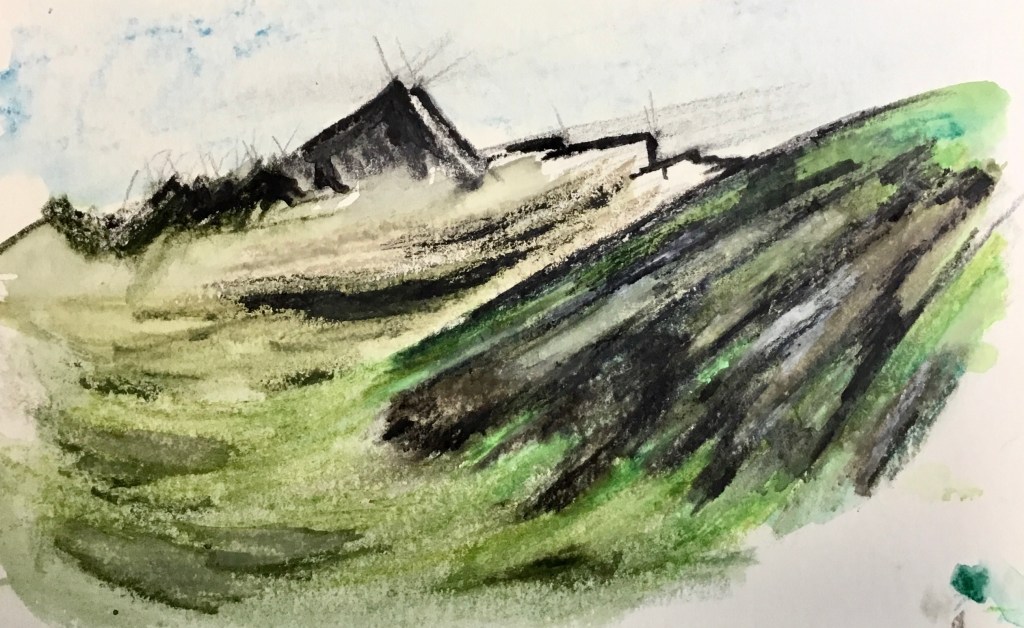
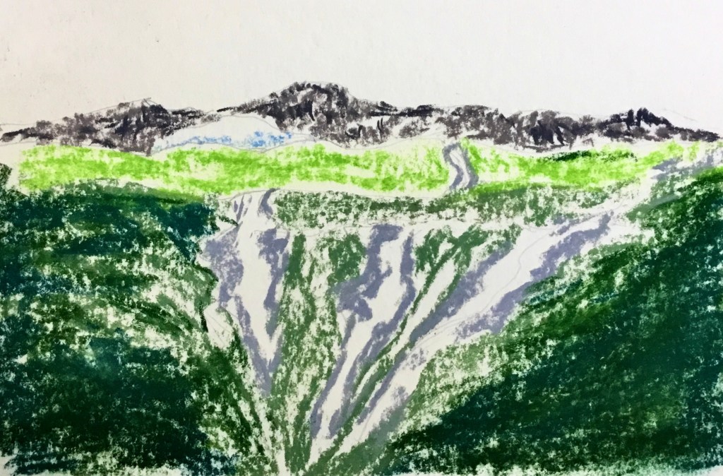
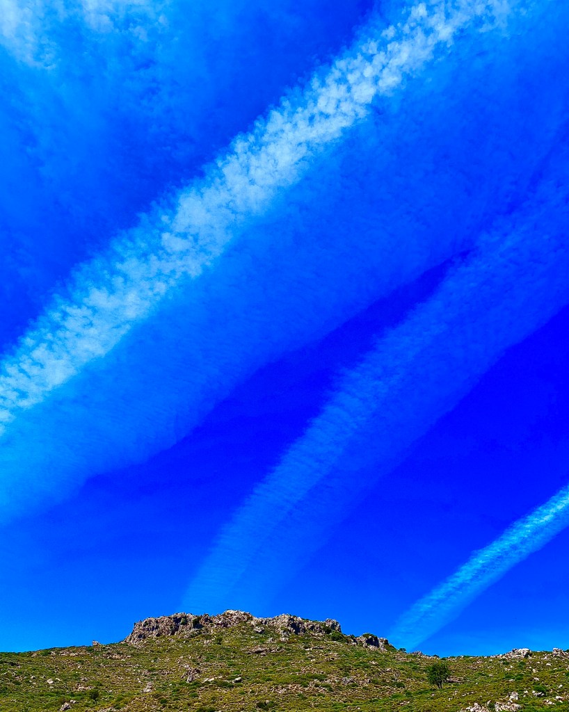
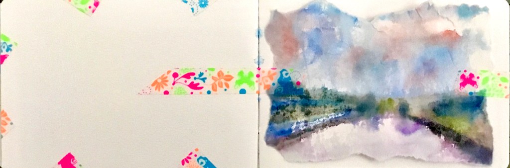
hidden gems in barren fields
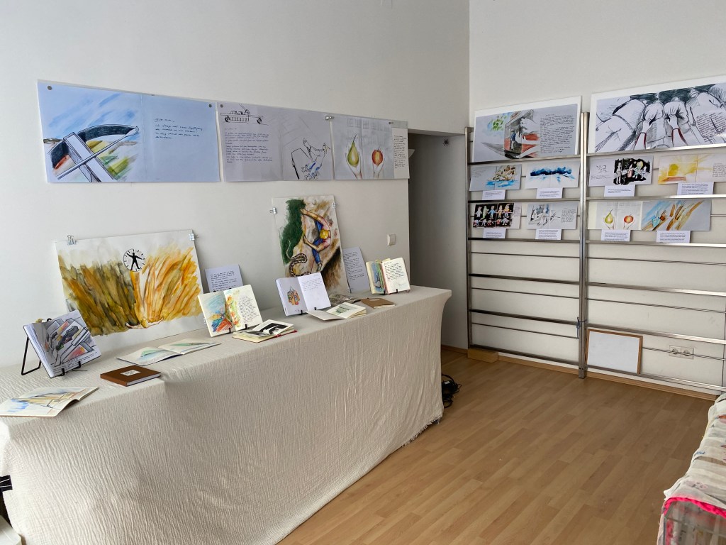
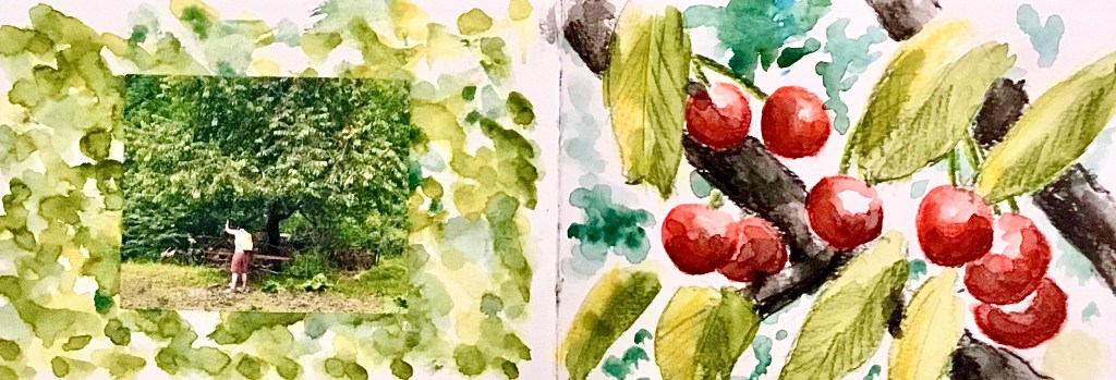
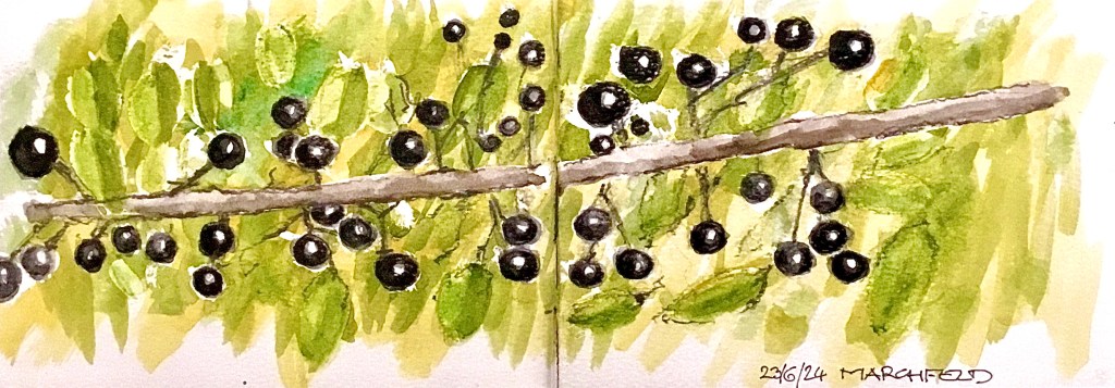
the art of nature
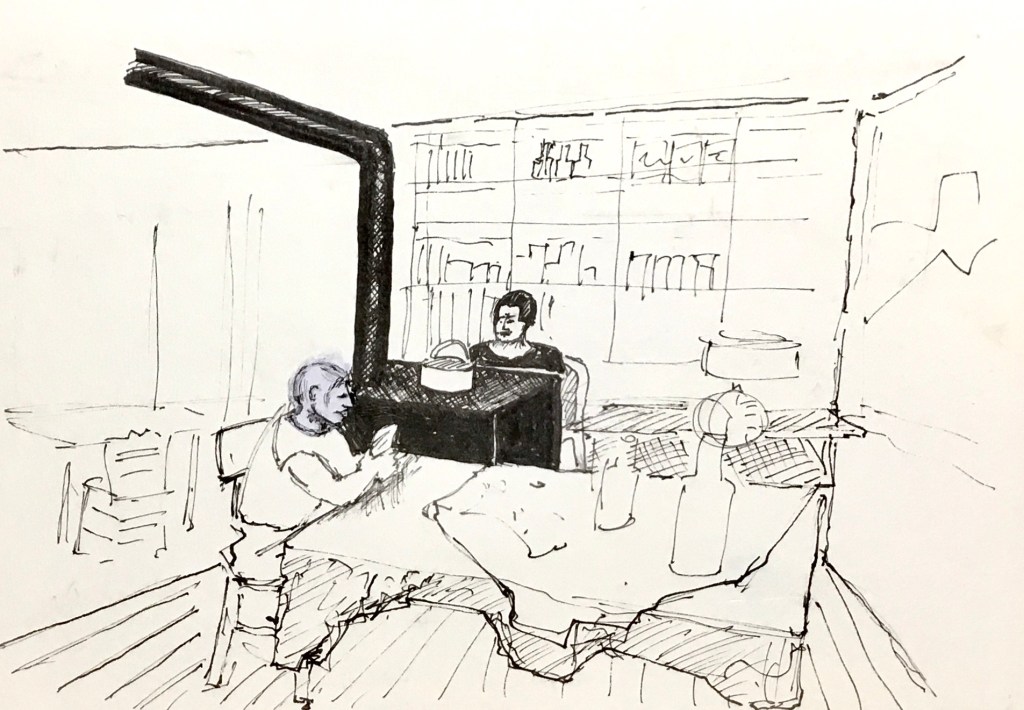
(Art work with Pastel crayons)


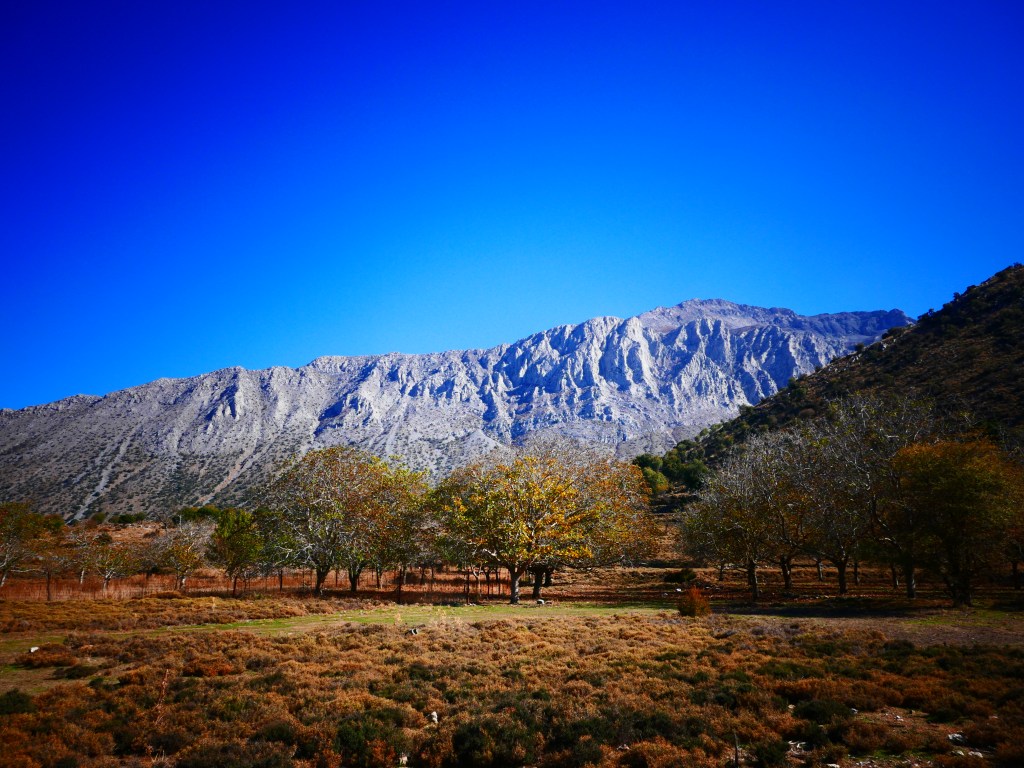
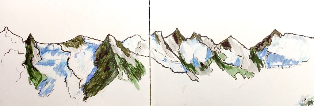
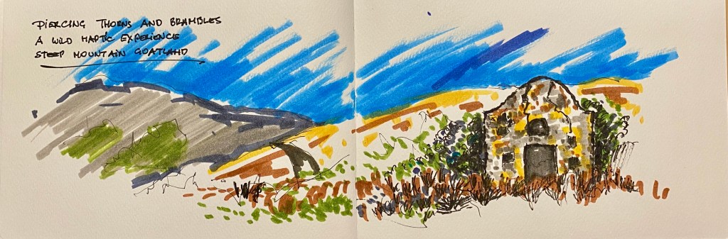
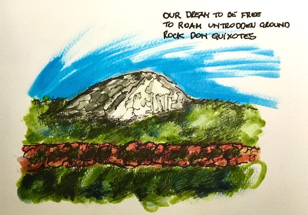
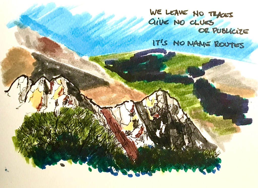
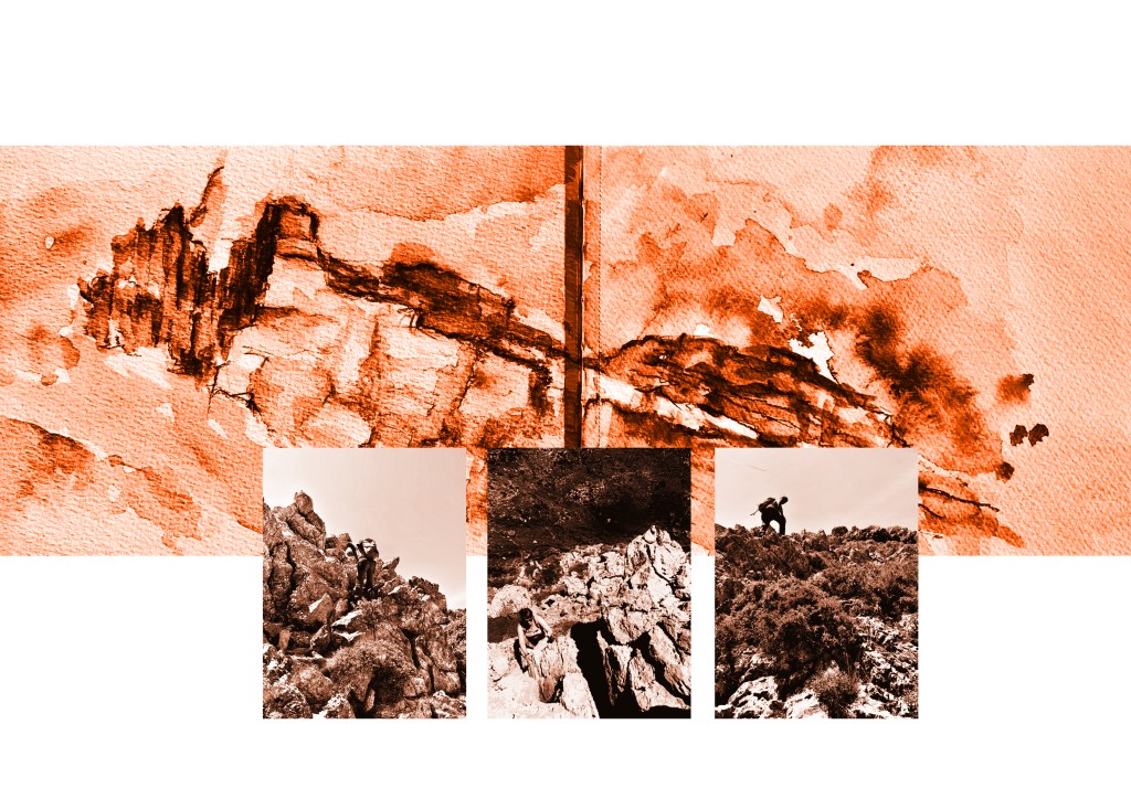
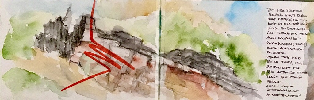
Steep Thrills on Rock (Val Rosandra)
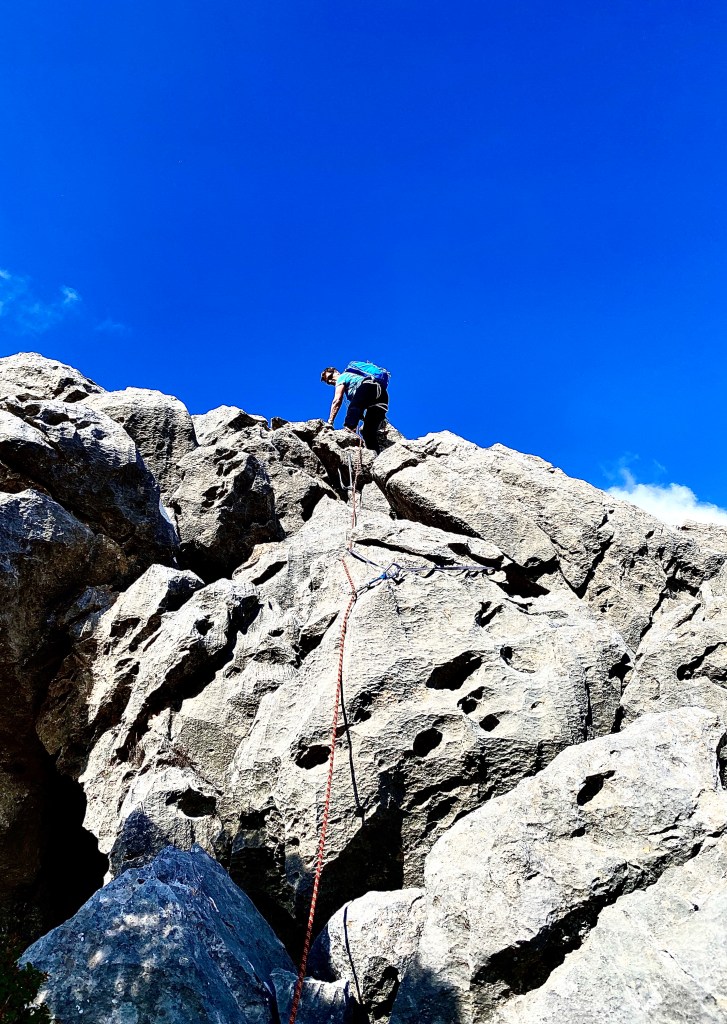
Ok – Go for It!
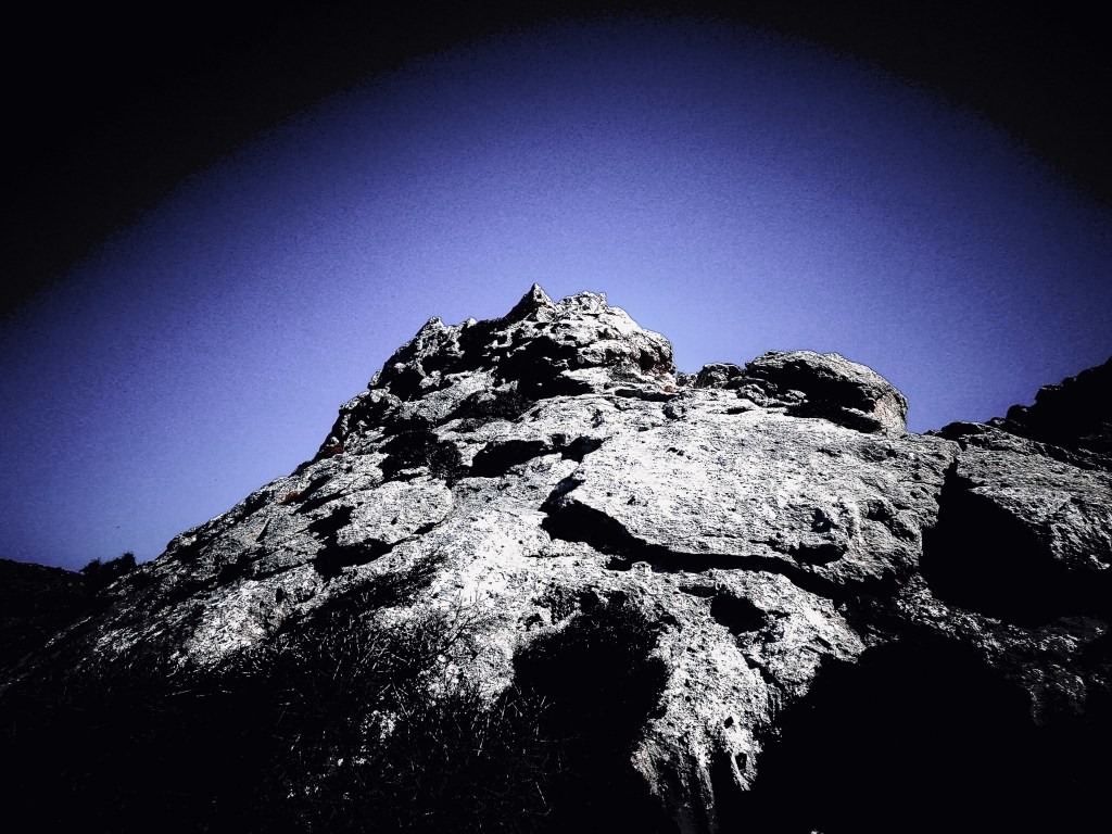
It’s rough, tough and threatening
No rock ballet like Comici
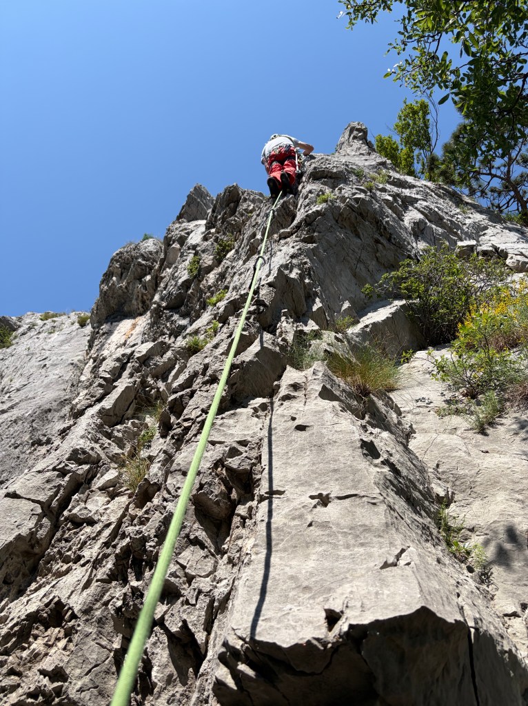
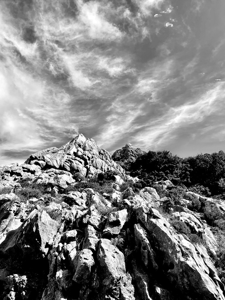
Mousetrap slab
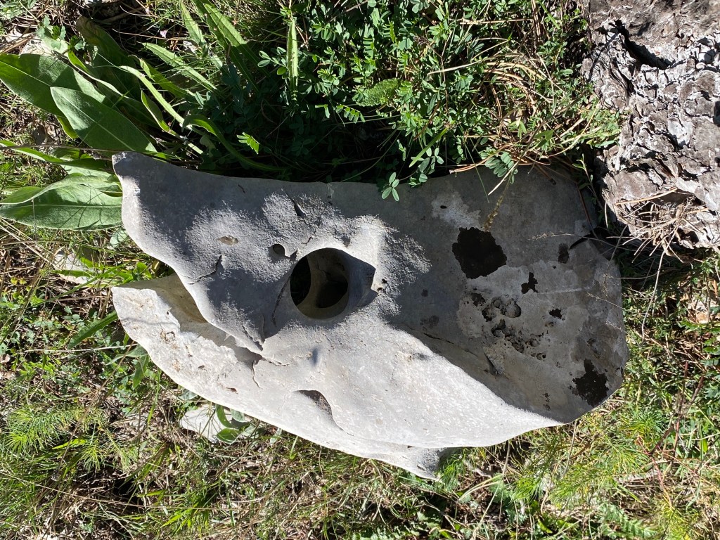
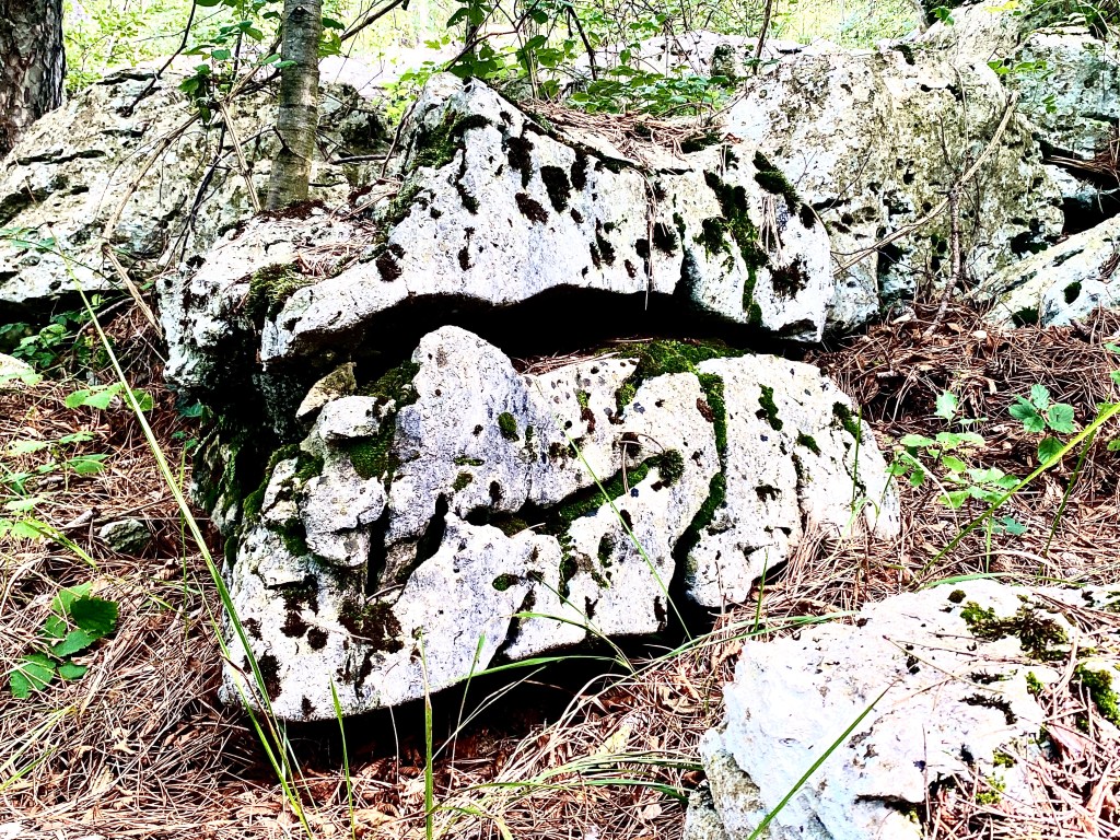
holes for holds
could go on forever

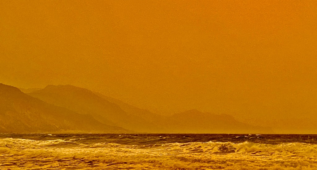
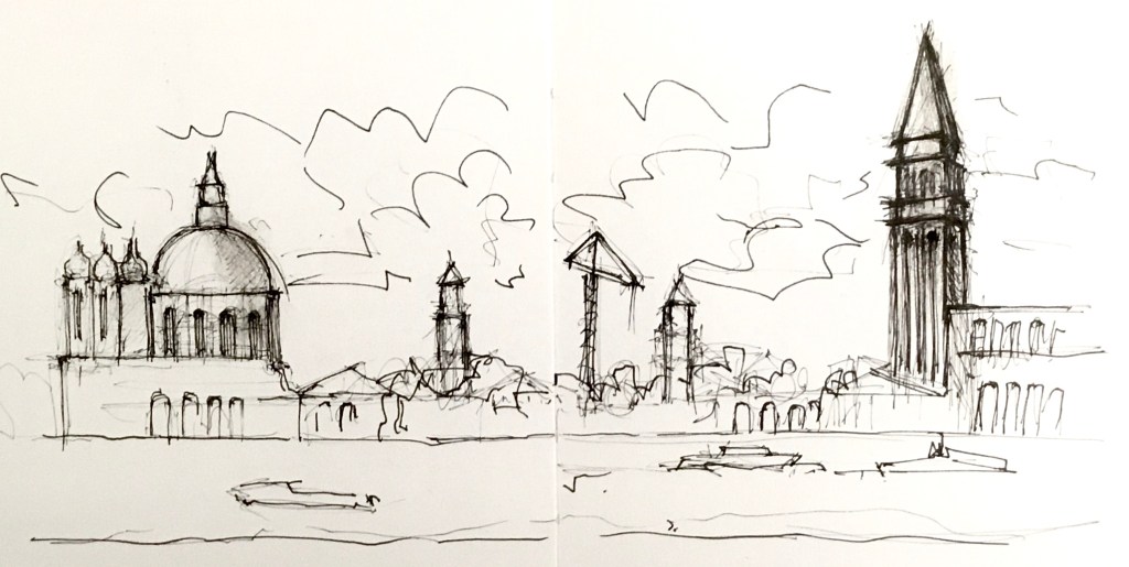
Venice
Call me marina
Exporing the oceans
Just vaporetto fantasy
Fairytale reality
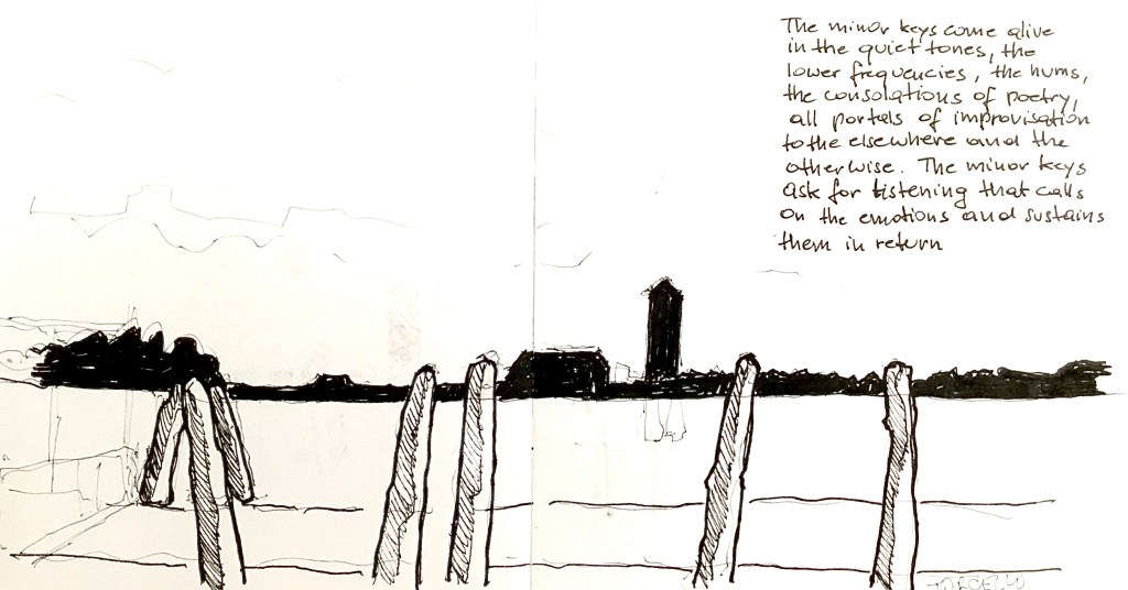
A sea with fields, woods and towns
seemingly floating
will they be here tomorrow?
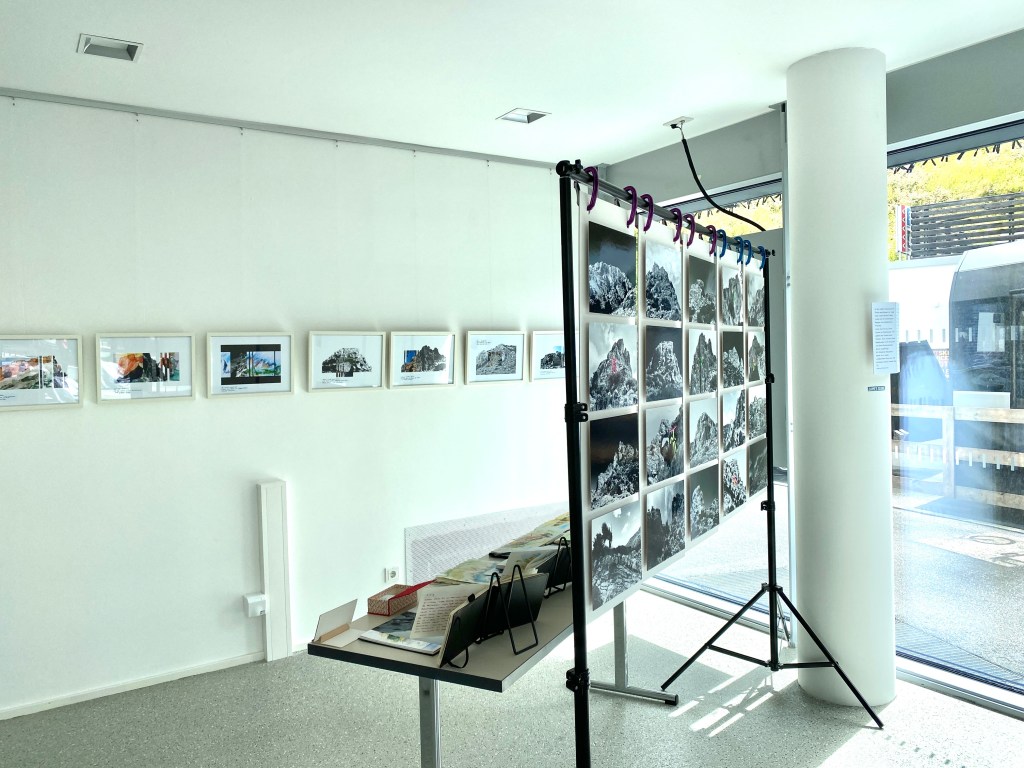
Biennale 26
There is art that stands out through its concept or mode of expression. I find it interesting, but it does not move me. It’s often the the simple, modest works that touch me through their authenticity. „Soul is art from your heart“.

Beverly Buchanan. She researched on the very simple dwellings in the southern USA states. They where (or still are?) the so-called one room shacks where the afro-american share croppers mostly lived. It was a kind of art-based research. The southern states are the home of the blues, the music that was most influential for rock music. (Seen at the Art Bienalle Venice).